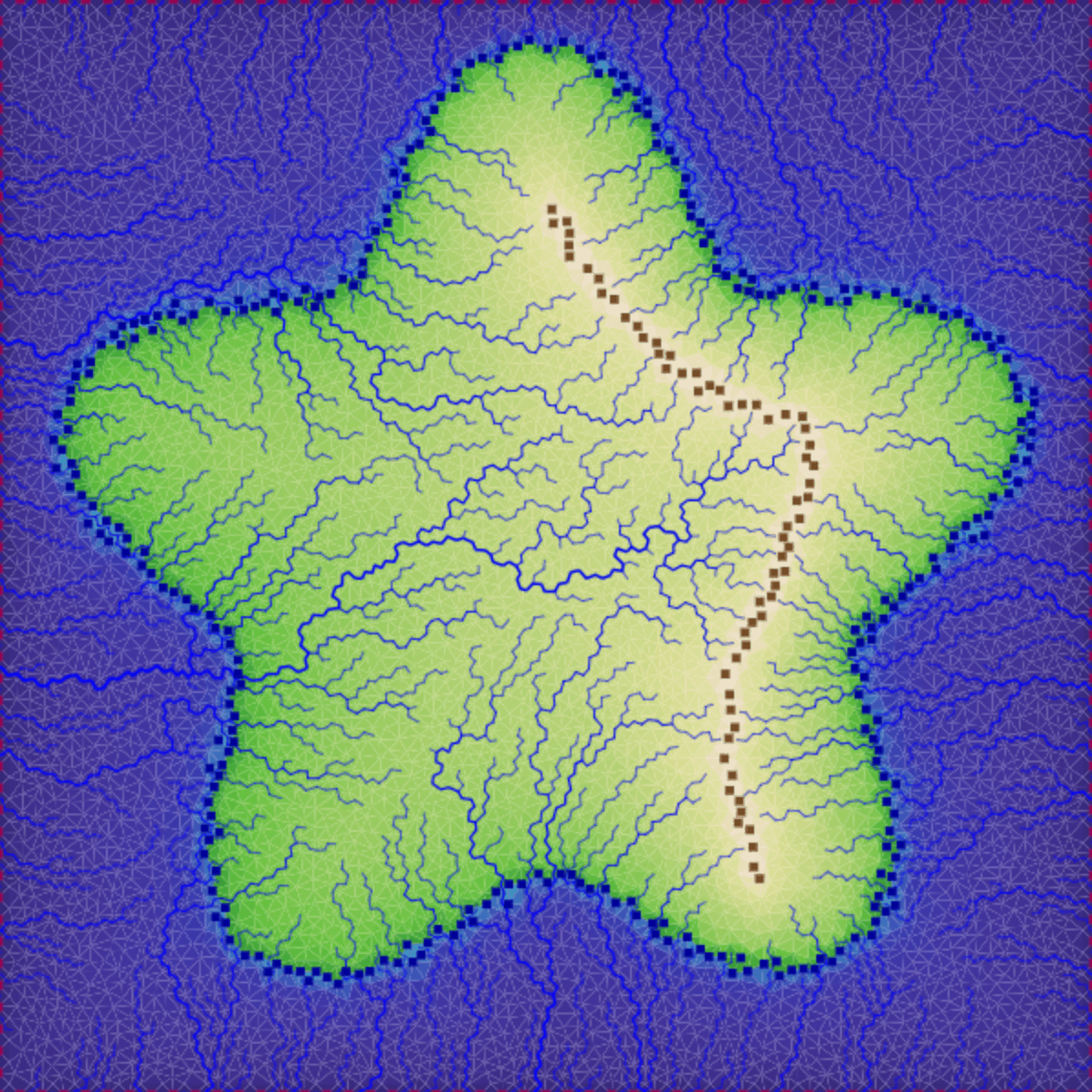
I was pretty happy with the sketching tool from last week but I wasn't sure whether it actually produced the data I needed. I connected several separate projects together to make the sketching tool guide the generation of rivers and elevation. These projects weren't coded to work together, so the page is rather clunky, but it served its purpose. I found that the sketching algorithm needed some tweaks, and the river and elevation algorithms need some tweaks too.
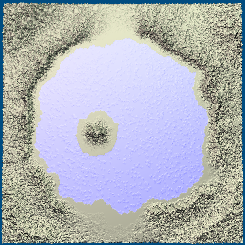
I also extended the sketch demo to let you change the boundary points, which have elevation -1. By default they're at the borders of the map. By removing them from the borders you can get non-island maps. By adding them elsewhere you can generate lakes.
0 nhận xét:
Đăng nhận xét